Samnaun Valley Trail
Leicht
15.2 km
2:30 h
561 Hm
561 Hm


7 Bilder anzeigen

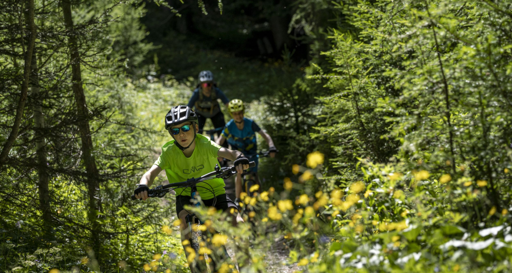
The valley trail is suitable as an evening round tour, or to explore the valley by bike.
Beste Jahreszeit
Jan
Feb
Mär
Apr
Mai
Jun
Jul
Aug
Sep
Okt
Nov
Dez
Koordinaten
46.949134, 10.369184
Details
Beschreibung
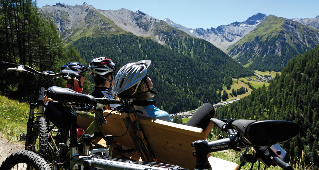
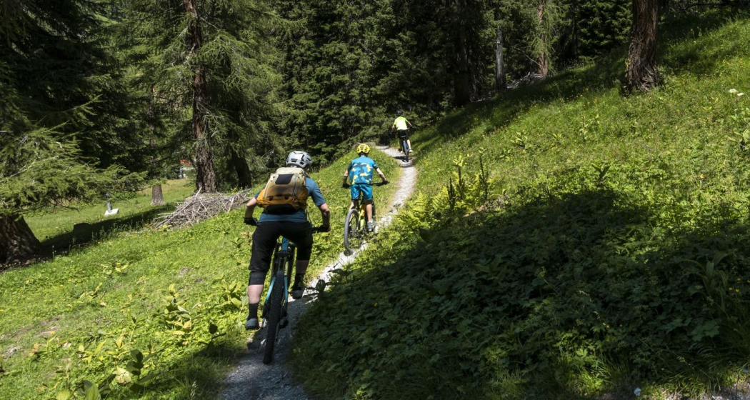
The tour can be started in all villages. From Samnaun-Compatsch you go to Laret and on to the two stables. There the ascent begins towards Tschischanaderet and Chè d'Mot, the hill with the cable car masts. The Chè d'Mot with a great view of the Samnaun valley can be reached on foot in a few minutes. Then it's off on the bike along the racy downhill trail to Ravaisch. The first two bends in particular are challenging. From Ravaisch a forest trail (S1) leads to Samnaun village, then along the village street past the duty-free shops to the Schmuggleralm. Then over the Märchenweg (fairytale trail) and on to the Vitaparcours at Inner Wald to the Kalvarienberg farms. Now descend to the Schergenbach stream and immediately up again to Clis Grond. The trail from Clis Grond down to the Compatsch junction is classified as S3/S2. As an alternative, you can also ride along the Schergenbach at the bottom of the stream on the camp road.
Sicherheitshinweis
The tour was assessed in favourable weather conditions, current weather conditions and weather forecasts must be compulsorily observed before starting the tour. This tour requires a certain level of riding safety, balance and technical riding skills.
Emergency call:
144 Emergency call, first aid
112 International emergency call
Show consideration when crossing and overtaking hikers.
Most of the mountain bike routes in Graubünden run on single trails that are also signposted as hiking trails. Hikers always have the right of way.
Ausrüstung
Helmet, gloves, good shoes, glasses, rain and sun protection, water bottle, repair kit, first aid kit
Anfahrt
Öffentliche Verkehrsmittel
- By Rhaetian Railway (from Chur, Landquart/Prättigau or from the Upper Engadine) to Scuol-Tarasp station every hour.
- Continue by PostBus to the PostBus stop Samnaun-Ravaisch (line 921, hourly connections).
- Samnaun local bus: hourly connections to Samnaun-Ravaisch
Arrival information
- From the north: via Landquart - Klosters by car transport through the Vereina Tunnel (Selfranga - Sagliains) or via the Flüela Pass into the Lower Engadine on H27, from Vinadi turn left towards Samnaun.
- From the east: via Landeck / Austria in the direction of Reschenpass on the B180, from Kajetansbrücke in the direction of Spiss - Samnaun on the L348
- From the south: via Reschenpass to Kajetansbrücke, there direction Spiss - Samnaun on the L348
Parken
Free public car park at the valley station of the double-decker cable car, Samnaun-Ravaisch.
Verantwortlich für diesen Inhalt Tourism Engadin Scuol Samnaun Val Müstair AG.

Diese Webseite nutzt Technologie und Inhalte der Outdooractive Plattform.