
 Live Slope Map
  Samnaun Mountain Railways
  Livecams
  WhatsApp
  Events
  Vouchers
 Heidelberger Hut – Samnaun village
Mittel
12.3 km
5:10 h
563 Hm
1003 Hm
5 Bilder anzeigen
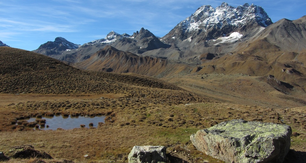
From the Heidelberger Hut via Fuorcla Val Gronda and the Zeblasjoch to Samnaun, the only duty-free area in Switzerland.
Beste Jahreszeit
Jan
Feb
Mär
Apr
Mai
Jun
Jul
Aug
Sep
Okt
Nov
Dez
Start
Heidelberger Hut
Ziel
PostBus stop Samnaun-Dorf, Post
Koordinaten
46.909883, 10.25974
Details
Beschreibung
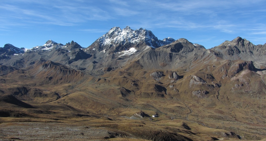
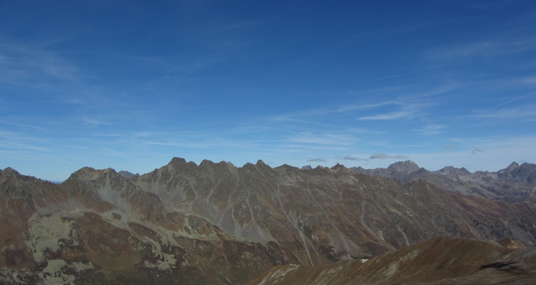
From the Heidelberger Hut, the path climbs to the border crossing into Austria on the Fuorcla Val Gronda at 2752 m above sea level. It continues through Austrian territory, often accompanied by ibex, to the Zeblasjoch. Varied high mountain landscape with glacier remnants, past waterfalls and lush meadows leads the road to Samnaun village.
Geheimtipp
Alternatively, the hiking trail can be taken from Zeblasjoch to Bergli and the gypsum caves up to the Alp Trider Sattel, where the double-deck cable car runs back to the valley every 30 minutes.
Sicherheitshinweis
The tour was evaluated under favorable weather conditions; current weather conditions and forecasts must be strictly observed before starting the tour. This hike requires basic alpine experience, orientation skills, hiking boots are recommended.
Emergency call:
144 Emergency, first aid
1414 Mountain rescue REGA
112 International emergency call
Ausrüstung
Good footwear, rain and sun protection, drinking bottle, first aid kit.
Wegbeschreibung
From the Heidelberger Hut towards Fuorcla Val Gronda
Cross the pass and continue towards Zeblasjoch
From Zeblasjoch follow the road to Samnuan
Anfahrt
Öffentliche Verkehrsmittel
- This tour starts at the Heidelberger Hut, which is only accessible on foot (see stage 5a Via Natürala).
Arrival information
- This tour starts at the Heidelberger Hut, which is only accessible on foot (see stage 5a Via Natürala).
Parken
- There are no parking spaces available

Verantwortlich für diesen Inhalt Tourism Engadin Scuol Samnaun Val Müstair AG.

Diese Webseite nutzt Technologie und Inhalte der Outdooractive Plattform.